Tuesday, 6 August 2013

KERJA LAPANGAN JALUR PANTAI TIMUR
1 JULAI - 8 JULAI 2013

"Down to Earth, Up to The Challenge"


Hari ini kami pelajar Geologi tahun 1 (Batch 2012-2015) akan bekerjalapangan  ke Pantai timur [Pahang, Terengganu dan Kelantan]. Kerja lapangan kali ini dibimbing oleh 3 orang pensyarah iaitu Prof. Dr Syafeea Leman, Prof Dr. Abdul Ghani Rafek dan Dr. Azimah Hussin serta 2 orang pengiring iaitu En. Abdul Rahim Nayan dan En.zulkepli Samsu. 

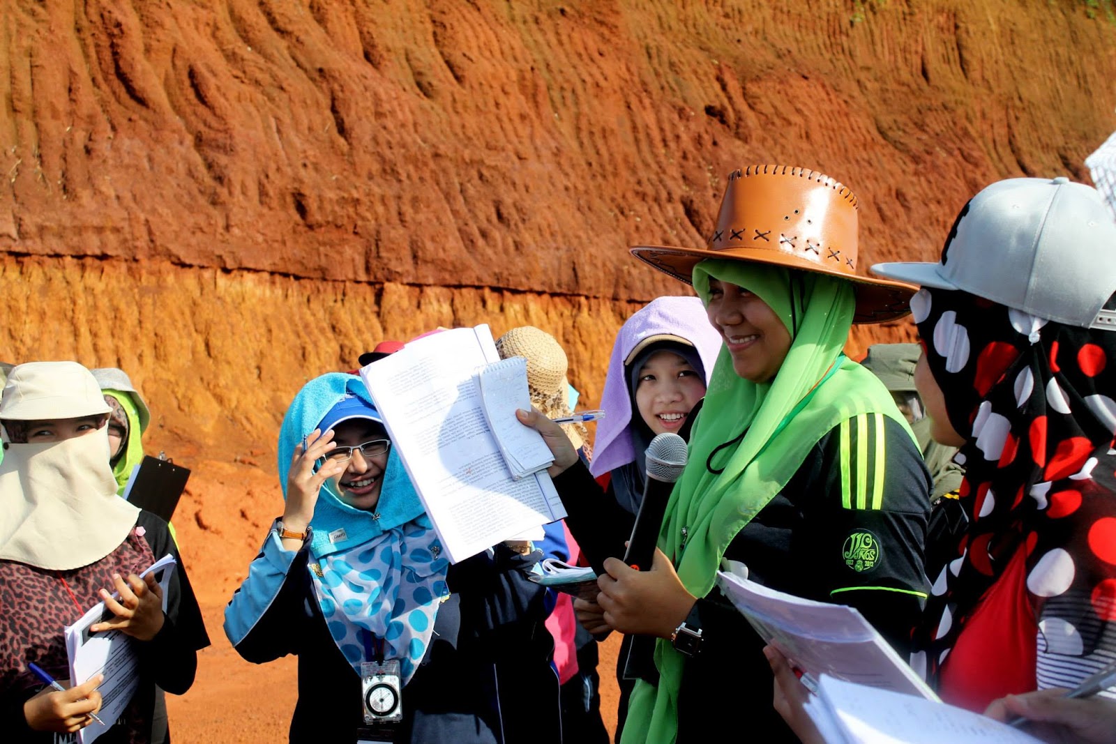
Secara keseluruhan, 32 orang pelajar Geologi (14 lelaki dan 18 perempuan)  mengikuti kerja lapangan ini dan kami dibahagikan kepada 3 kumpulan. Sesuatu yang menarik mengenai fieldwork kali ini kami dikehendaki membuat Jurnal harian untuk merekodkan semua pengalaman akademik sepanjang kerja lapangan ini, sama ada ilmu geologi yang baru, pemerhatian yang menakjubkan, termasuk fitur yang dilihat sepanjang perjalanan bas/ di kawasan berhampiran.


kami telah dimaklumkan bahawa Kaedah Penilaian Pelajar adalah berdasarkan :

1. Keaktifan penyertaan di Lapangan
2. Laporan Amali
3. Jurnal Harian
4. Peperiksaan Kerja lapangan

*Dinilai oleh mentor lapangan berdasarkan ketekunan pelajar mendengar penjelasan, keaktifan membuat cerapan, keaktifan berinteraksi dengan semua tenaga pengajar dan sesama pelajar, sikap dan kebolehan membaca jurus dan kemiringan.

*Dinilai oleh mentor lapangan berasaskan jumlah nota saintifik, ketepatan fakta saintifik, pemetikan sumber, kreativiti, penyataan falsafah dan pandangan keseluruhan tentang kursus

Pemakluman ini telah membangkitkan dan menaikkan semangat kami untuk membuat/memberi yang terbaik sepanjang pengembaraan mencari ilmu pengetahuan ini. Seperti biasa antara kelengkapan yang wajib dibawa oleh pelajar Geologi semasa bekerja lapangan adalah :

1. Tukul
2. Kompas
3. Kanta Tangan
4. Buku Cerapan / Nota Lapangan 
5. kamera

kami juga telah mengariskan beberapa Objektif yang hendak dicapai sepanjang kerja lapangan ini :

OBJEKTIF :

  • Menambahkan ilmu pengetahuan dan menguasai perkara-perkara asas Geologi seperti Jenis-jenis batuan, ciri batuan, struktur perlapisan dan singkapan, fasis dan formasi, fitur geomorfologi dan banyak lagi
  • Melatih diri untuk mencari ilmu pengetahuan dengan cara yang lebih praktikal, belajar dengan melihat sendiri, menyentuh dan berfikir bagaimana ianya terhasil dan kaitkan dengan apa yang telah dipelajari
  • Mendapatkan peluang untuk belajar dengan pensyarah yang berpengalaman dan professional. menanyakan persoalan-persoalan Geologi untuk kefahaman dan menambahkan pengetahuan yang mungkin berguna untuk masa depan
  • Melihat keindahan alam dan Geologi persekitaran serta memupuk minat terhadap geologi dengan lebih lagi
  • Melatih diri untuk menjadi ahli Geologi yang sejati dan berkualiti


_________________________________________________________________________________


PENGENALAN GEOLOGI PANTAI TIMUR SEMENANJUNG MALAYSIA

Semenanjung Malaysia dibentuk oleh pelbagai jenis batuan igneus, metamorf dan sedimen dengan pelbagai jenis fosil berusia Kambria hingga Holosen. Berdasarkan sekutuan batuan Igneus dan pemineralan, sekutuan batuan sedimen dan metamorf, korelasi stratigrafi dan struktur tektonik. semenanjung Malaysia boleh dibahagikan kepada tiga teren geologi yang menganjur pada arah hampir utara-selatan. Secara konvensyenal teren-teren ini dinamakan sebagai Jalur Barat, Jalur Tengah dan Jalur Timur Semenanjung Malaysia.

Blok Malaya Timur merangkumi negeri Kelantan, Terengganu dan Pahang serta bahagian timur Negeri Johor dan Negeri Sembilan. Sesar Lebir yang memisahkan Jalur Tengah daripada Jalur Timur Semenanjung Malaysia. Dari segi Geologinya terdapat perbezaan ketara antara batuan Jalur Tengah dan Jalur Timur Semenanjung Malaysia.

Jalur Timur Semenanjung Malaysia dicirikan oleh kehadiran batuan sedimen samudera serta sedikit sedimen daratan berusia Paleozoik akhir dan batuan sedimen daratan berusia Jura-Kapur (Mesozoik) dengan kehilangan ketara batuan sedimen samudera berusia Perm akhir hingga Trias tengah. Di bahagian tertentu batuan sedimen Paleozoik atas ini telah tercangga dengan amat teruk dan juga termetamorf hingga gred sederhana dan tinggi, manakala di bahagian lainnya batuan berusia Paleozoik akhir ini direjah oleh batolit banjaran sempadan. Batolit ini merejah dan membawa bersama magma bakinya mineral-mineral bijih timah, besi, logam bes dan juga emas.

_________________________________________________________________________________

Picture Perfect Memories


Penerangan daripada zainol rafek
Penerangan oleh Amira Sofia


Rugosa, Gua Bama, Kuala Lipis


Penerangan oleh Izharuddin 

Basalt, Pantai Batu Hitam, Kuantan

Sepanjang seminggu ini terdapat 21 lokaliti yang kami lawati dan membuat pencerapan. Sememangnya pengalaman bekerja lapangan kali ini sangat bermanfaat kepada kami untuk melatih diri kami untuk menjadi ahli geologi yang sejati dan berkualiti. =)


Sunday, 4 August 2013

THE FEROCITY AND DESTRUCTIVENESS OF VOLCANO!

EXPLOSION

ERUPTION


Hawaiian volcano

1. Yellowstone 
The Yellowstone Caldera is the volcanic caldera located in Yellowstone National Park in the United States, sometimes referred to as the Yellowstone Supervolcano. Yellowstone lies over a hotspot where light, hot, molten mantle rock rises toward the surface.Over the past 18 million years or so, this hotspot has generated a succession of violent eruptions and less violent floods of basltic lavaYellowstone Supervolcano is the volcanic field which produced the latest three supereruptions from the Yellowstone hotspot; it also produced one additional smaller eruption, thereby creating West Thumb Lake 174,000 years ago.


2. Mt. Saint Helens, Washington
Mount St. Helens is an active stratovolcano located in Skamania County, Washington, in the Pacific Northwest region of the United States. Mount St. Helens is most notorious for its catastrophic eruption on May 18, 1980, at 8:32 a.m. the deadliest and most economically destructive volcanic event in the history of the United States. Fifty-seven people were killed; 250 homes, 47 bridges, 15 miles (24 km) of railways, and 185 miles (298 km) of highway were destroyed. A massive debris avalanche triggered by an earthquake measuring 5.1 on the Richter scale caused an eruption that reduced the elevation of the mountain's summit from 9,677 ft (2,950 m) to 8,365 ft (2,550 m)


3. Mt. Etna, Sicily
Mt. Etna is an active stratovolcano on the east coast of Sicily, Italy. It lies above the convergent plate margin between the African Plate and the Eurasian Plate. It is the tallest active volcano on the European continent, currently standing 3,329 m (10,922 ft) high, though this varies with summit eruptions. It is the highest mountain in Italy south of the Alps. Mount Etna is one of the most active volcanoes in the world and is in an almost constant state of activity. Volcanic activity first took place at Etna about half a million years ago, with eruptions occurring beneath the sea off the ancient coastline of Sicily.


4. Mt. Vesuvius, Italy -Pompeeii
Vesuvius is an active volcano in mainland Europe, and has produced some of the continent's largest volcanic eruptions. Located on Italy's west coast, it overlooks the Bay and City of Naples. Vesuvius is part of the Campanian volcanic arc, a line of volcanoes that formed over a subduction zone created by the convergence of the African and Eurasian plates. This subduction zone stretches the length of the Italian peninsula, and is also the source of other volcanoes like Mount Etna. Though the volcano's last eruption was in 1944, it still represents a great danger to the cities that surround it, especially the busy metropolis of Naples.  Ash, mud and rocks from this eruption buried the cities of Pompeii and Herculaneum. Pompeii is famous for the casts the hot ash formed around victims of the eruptions. The unfortunate people suffocated on ash in the air, which then covered them and preserved amazing details of their clothing and faces. 


Deadliest Volcanic Eruptions

RankVolcanoYearDeaths
1.Tambora, Indonesia181592,000
2.Krakatau, Indonesia188336,417
3.Mount Pelee, Martinique190229,025
4.Ruiz, Colombia198525,000
5.Unzen, Japan179214,300
6.Laki, Iceland17839,350
7.Kelut, Indonesia19195,110
8.Galunggung, Indonesia18824,011
9.Vesuvius, Italy16313,500
10.Vesuvius, Italy793,360
Based on data in Volcanic Hazards: A Sourcebook on the Effects of Eruptions by Russell J. Blong (Academic Press, 1984).
Source: Volcano World, University of North Dakota.

RING OF FIRE...  PLATE TECTONICS... EARTHQUAKES...


The Ring of Fire is an area where a large number of earthquakes and volcanic eruptions occur in the basin of the Pacific Ocean. In a 40,000 km (25,000 mi) horseshoe shape, it is associated with a nearly continuous series of oceanic trenches, volcanic arcs, and volcanic belts and/or plate movements. The Ring of Fire has 452 volcanoes and is home to over 75% of the world's active dormant volcanoes. 

_________________________________________________________________________________

SUBDUCTION zONE

Sunda Trench : between Indian Plate and Burma Plate

Mariana Trench : between Philippines plate and Eurasian plate

Japan Trench : Between Eurasian plate and Pacific plate/ Philippines plate

New zealand : Autralian plate and Pacific plate

Peru-Chile Trench : between Nazca plate and South American plate

Caribbean Plate-Puerto rico

Juan de Fuca - N. American plate ( connected to San Andreas Fault)
________________________________________________________________________________

RIFTING zONE - SEA FLOOR SPREADING

African plate - South American plate

Arabian plate - African plate

Nazca plate - Pacific plate

Pacific plate - Antartic plate

Juan de Fuca plate - Pacific plate

------------------------------------------------------------------------------------------------------------

LARGEST EARTHQUAKE RECORDED

CHILE (1960) : Magnitude 9.5

Off the west coast of Sumatra (2004) : Magnitude : 9.1

Near the east coast of Honshu Japan (2011) : Magnitude 9.0


Saturday, 3 August 2013

EXPLORATION GEOPHYSICS

Exploration geophysics is the applied branch of geophysic which uses surface methods to measure the physical properties of the subsurface earth, along with the anomalies in these properties, in order to detect or infer the presence and position of oreminerals, hydrocarbon, geothermal reservoirs, groundwater reservoirs, and other geological structures.
Exploration geophysics is the practical application of physical methods (such as seismic, gravitational, magnetic, electrical and electromagnetic) to measure the physical properties of rocks, and in particular, to detect the measurable physical differences between rocks that contain ore deposits or hydrocarbons and those without.
Exploration geophysics can be used to directly detect the target style of mineralisation, via measuring its physical properties directly. For example one may measure the density contrasts between iron ore and silicate wall rocks, or may measure the electrical conductivity contrast between conductive sulfide minerals and barren silicate minerals.


OIL AND GAS
Seismic reflection techniques are the most widely used geophysical technique in hydrocarbon exploration. They are used to map the subsurface distribution of stratigraphy and its structure which can be used to delineate potential hydrocarbon accumulations. Well logging is another widely used technique as it provides necessary high resolution information about rock and fluid properties in a vertical section, although they are limited in areal extent. This limitation in areal extent is the reason why seismic reflection techniques are so popular; they provide a method for interpolating and extrapolating well log information over a much larger area.
Gravity and Magnetics are also used, with considerable frequency, in oil and gas exploration. These can be used to determine the geometry and depth of covered geological structures including uplifts, subsiding basin, faults, folds, igneous intrusion and salt diapirs due to their unique density and magnetics susceptibility signatures compared to the surrounding rocks.


PETROLEUM GEOLOGY

Petroleum geology is the study of origin, occurrence, movement, accumulation, and exploration of hydrocarbon fuels. It refers to the specific set of geological disciplines that are applied to the search for hydrocarbon oil exploration

Petroleum geology is principally concerned with the evaluation of seven key elements in sedimentary basin
  • Source
  • Reservoir
  • Seal
  • Trap
  • Timing
  • Maturation
  • Migration

Evaluation of the source uses the methods of geochemistry to quantify the nature of organic-rich rocks which contain the precursors to hydrocarbons, such that the type and quality of expelled hydrocarbon can be assessed.
The reservoir is a porous and permeable lithological unit or set of units that holds the hydrocarbon reserves. Analysis of reservoirs at the simplest level requires an assessment of their porosity(to calculate the volume of in situ hydrocarbons) and their permeability (to calculate how easily hydrocarbons will flow out of them). Some of the key disciplines used in reservoir analysis are the fields of structural analysis, stratigraphy, sedimentology, and reservoir engineering
The seal, or cap rock, is a unit with low permeability that impedes the escape of hydrocarbons from the reservoir rock. Common seals include evaporites, chalks and shales. Analysis of seals involves assessment of their thickness and extent, such that their effectiveness can be quantified.
The trap is the stratigraphic or structural feature that ensures the juxtaposition of reservoir and seal such that hydrocarbons remain trapped in the subsurface, rather than escaping (due to their natural buoyancy) and being lost.
Analysis of maturation involves assessing the thermal history of the source rock in order to make predictions of the amount and timing of hydrocarbon generation and expulsion.
Finally, careful studies of migration reveal information on how hydrocarbons move from source to reservoir and help quantify the source (or kitchen) of hydrocarbons in a particular area.


PETROLEUM GEOLOGIST
petroleum geologist is a geoscientist which can occupy in the field of petroleum geology that involves all aspects of oil discovery and production. Petroleum geologists are usually linked to the actual discovery of oil and the identification of possible oil or leads. It can be a very labor intensive task involving several different fields of science and elaborate machinery. Petroleum geologists look at the structural and sedimentary aspects of the stratum/strata to identify possible oil traps.


OIL AND GAS COMPANY IN MALAYSIA

PETRONAS
EXXONMOBIL
SHELL
TOTAL E&P
BP
PETROFAC
MUBADALA PETROLEUM
SAPURA KENCHANA PETROLEUM
MURPHY OIL MALAYSIA
TALLISMAN
BHPBILLITON
PETRON
SCHLUMBERGER
CONOCHOPHILIPS
TECHNIP
MALAKOFF
LUNDIN
HALLIBURTON
BAKER HUGHES
ASIANGEOS
TANJUNG OFFSHORE
(We are currently seeking sponsorship from oil & gas company to support our event)


Earthquake and Tsunami
Disaster occur in Sumatra  


26 Dec 2004 : earthquake and tsunami on the west coast of Sumatra

Occurance : 

Movement of indian plate subducted below burma plate. Indian plate push the burma plate down below, too much stress develop. Burma plate rebounce to uplifting. The shock energy of burma plate uplifting transfer throughout the water bodies and this cause tsunamies to various part of coastlines in Sumatera, india,sri lanka and thailand

Catastrophy :
9.2 ricther scale earthquake creat a devastating effect to the coastline and major land of Sumatera. The third largest earthquake ever recorded on a siesmograph. Houses, building and man were flush away by the tsunami.